Weather and wind are everything for sailors, so we decide to take a course in meteorology. What are our learnings?
Amsterdam (NLD)
Why would we need a course on meteorology – all we need to do is check a weather app, right? It seems a bit of a waste of time and money, but we cannot ignore one thing: we will need a reliable and fast internet connection for our apps to work. A few miles off the coast and 4G rapidly changes to “no signal”, wi-fi won’t be available at every anchorage, let alone in the middle of the ocean, and the range of VHF is also limited to about 30 nautical miles (55km). So we better find alternative methods to get informed.
Back to School
The course “Practical meteorology for long-distance sailors” (Dutch) by Nimos institute promises to teach us not just how to obtain weather charts on the high seas, but also how to apply them. Seasoned meteorologist Henk Huizinga, famous for his weekly weekend sailing weather forecast (Dutch), teaches the course with ocean sailor and communications expert Ruud Kattenberg. We are in good company: all attendants are enthusiastic long-distance sailors who intent to leave the Netherlands in 2016 or 2017.
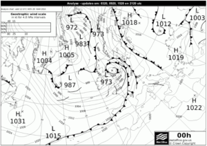
We are happy that Henk starts off by refreshing our meteorology knowledge. Quite honestly, we had become lazy by depending on weather apps and grib files, which indicate the force and direction of the wind (see picture below). Henk shows us how to properly read grib files, while Ruud explains how such files are produced. This exposes the weaknesses and pitfalls of using only grib files. That is why we also need to study weather charts in more detail.
Getting the Gribs
So far so good – but how do we get these files on a regular basis? Ruud fills us in: through free software (ZyGrib) and e-mail services we will be able to obtain the latest grib files and weather charts for only a few KB. Yes, kilobyte: size matters when your only line to the outside world is a very slow internet connection via satellite (for the geeks among you: 2.4KB per second or 6000 times slower than your average internet connection). Ruud is quite positive about Iridium Go, which is sort of a hub that transforms your smart phone into a satellite receiver and which we plan to install onboard. It will also enable our Mom’s to get in touch (and all of you to send us free text messages – more info to follow).
Finally, we learn that we’ve been sailing in the wrong direction for years. The fastest course between A and B is often not a straight line, if you take into account the weather forecast and the boat’s sailing and speed characteristics. Applying “meteorology navigation” will help us in the future better to plan our trip (again with great help from free software: QtVLM). We’ll let you know our experiences soon!
It was a very useful day, which we surely recommend. And while we hope the weather will be kind to us during our endeavors and we won’t get caught up in storms, at least we will not be able to claim we could not see it coming.
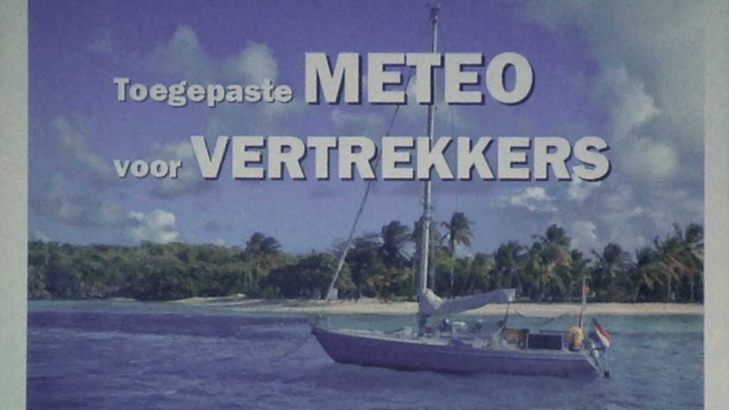
Nice prospect picture for the course “Practical meteorology for long-distance sailors”
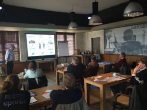
Ivar paying careful attention in the classroom
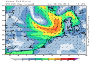
Grib files tell only part of the story
Weather charts, such as this one from the UK Meterological Office give a more complete picture, such as troughs over NW Europe.
Bestel ons boek - Order Our Book
Het boek uit over onze zeilreis van ruim acht jaar rond de wereld op zoek naar duurzame oplossingen: